The data menu contains both data visualization via the ArcGIS tool and country profiles. Structured into sectors (climate, agriculture, Infrastructure, energy, water) to ease user experience. The data includes statistics, knowledge, and policy documents on various sectors that can help inform key decisions in climate change-affected sectors, thereby ensuring resilience. The data is collated from various data partners and sources.
How to Navigate the Data Menu:
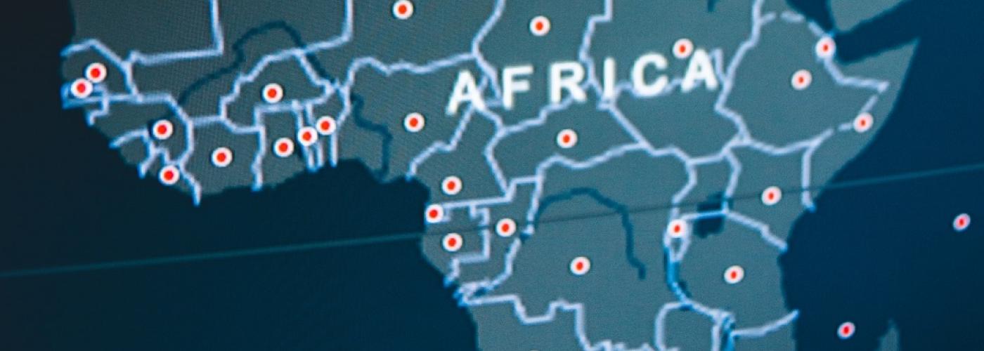
Under the Data menu, you can click on Country Profile or Data Visualization
Country Profile
1. Click on a specific country from the list;
2. once the page opens, you will get general info about the country, as well as info on Nationally Determined Contributions (NDCs) at a glance;
3. Under Country Profile Menu, view and visualize country-specific data on climate, energy, agriculture, water, transport and Infrastructure;
4. You can also view and download data on climate, energy, agriculture, water, transport and Infrastructure under external data sources;
Data Visualization
1. You can filter the data you want to visualize using Title, Sector, and Country or you can click on the data you want to visualize. The ArcGIS tool helps you create graphs, send queries, as well as download data.